Géoportail - Les essentiels 2.1.3 Apk

Rate saved, Thank!
4 (1 votes)
Description of Géoportail - Les essentiels
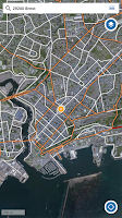
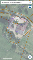
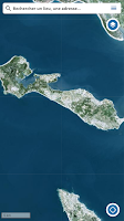
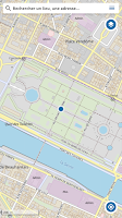
The Géoportail application brings together the 8 maps and data most popular with users of the Géoportail, the portal for reference geographic information on the national territory. Consult and locate yourself on: • The IGN plan • The IGN topographic map • The classic IGN map • Aerial photographs • Cadastral plots • Aerial photographs 1950-1965 • The map of the 1820-1866 staff • UAS open category and model aircraft restriction zones 2 geo-location modes are available: • simple (target activated in white): the position is tracked, the map remains fixed • tracked (target activated in white and filled in): the position is tracked, the map moves simultaneously Using the display of coordinates via the central cross, obtain precisely the coordinates of any location (to be activated in the settings). For more maps, data and tools, see www.geoportail.gouv.fr
Images